Living Landscapes: The Western Transverse Ranges

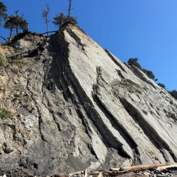
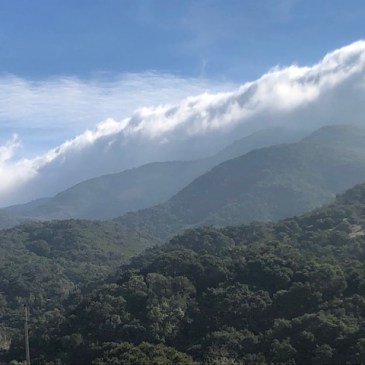
Tectonic Geomorphology Southern California’s Transverse Ranges are composed of a series of geologic units of divergent age and origin. Together they are captured and transported to the northwest in an east-west trending rotation by the oblique grind, pull, and squeeze of the fractured and tempestuous boundary between the North American and Pacific Plates. The Transverse … More Living Landscapes: The Western Transverse Ranges

Earthquake Country, Geomorphography, and our Latest Podcast Episodes

The northern-most San Andreas rift valley at Alder Creek in coastal Mendocino County is a highly fractured tectonic zone, featuring at least two main stems of the San Andreas Fault itself, and riddled with multiple minor transform and thrust faults, both on-land and offshore… Read More  Seismite: Sedimentary layers (lithified strata) deformed during the seismic … More Earthquake Country, Geomorphography, and our Latest Podcast Episodes

Living Landscapes: Point Arena’s Sedimentary Complex, Tectonic Geomorphology, and Biogeographic Setting

Geography The Point Arena Terrane is a tectonic unit of geologic formations and sedimentary landforms west of the San Andreas Fault on the northern California coast, and is traveling northwestward along the transform plate boundary. The Point Arena peninsula, headlands, and coastal slope are a series of tectonic marine terraces, steadily and rapidly uplifting from … More Living Landscapes: Point Arena’s Sedimentary Complex, Tectonic Geomorphology, and Biogeographic Setting

Earthquake Country: The Cordelia and Green Valley Faults

Situated at the southeastern edge of the Northern Coast Range, where subduction complex abuts the Great Valley Sequence, two outlying strands of the broad San Andreas fracture zone cut a striking and majestic tectonic landscape. The picture perfect Cordelia fault, and its more significant fractious neighbor, the Green Valley fault, sculpt plunging walls and scarps, … More Earthquake Country: The Cordelia and Green Valley Faults

Wildfire in the Transverse Range Wildland Urban Interface

Spatial distribution of wildfires ignited under katabatic versus non-katabatic winds in Mediterranean southern California USA Santa Ana Winds: A Descriptive Climatology, American Meteorological Society Extreme Wildfire Environments and Their Impacts Occurring with Offshore-Directed Winds across the Pacific Coast States Physical Geography of the Transverse and Peninsular Ranges of Southern California The California Chaparral Institute: Too … More Wildfire in the Transverse Range Wildland Urban Interface

Creepy Fault Creep on the Maacama, Halloween Edition

The Maacama fault forms linear northwest trending transtensional basins in central Sonoma and Mendocino Counties, which contain many of the major towns in these counties, including Hopland, Ukiah, and Willits. Tell-tale evidence of fault creep can be traced throughout the town of Willits along the northwest trending slice of the Maacama fault where it cuts … More Creepy Fault Creep on the Maacama, Halloween Edition

Hometown Fossil: The Lone Six Million Year-Old Parabalaenoptera baulinensis

As an ode to my natal beach, which has recently and unfortunately made the news for being closed to public access indefinitely due to sewage contamination, I’m taking a look back at a happier time for this spot on the southern tip of the Point Reyes Peninsula, and the discovery of the lone specimen of … More Hometown Fossil: The Lone Six Million Year-Old Parabalaenoptera baulinensis

Inglenook Fen: A Rare Coastal Wetland System

One of California’s most unique and rare wetland systems is found nested between vast, migrating dune lobes on the Mendocino Coast. The Inglenook Fen-Tenmile Dunes ecological reserve forms the northern portion of MacKerricher State Park, a few miles north of Fort Bragg, CA.     Most fens in California are found in the Sierra Nevada, Klamath Mountains, … More Inglenook Fen: A Rare Coastal Wetland System