
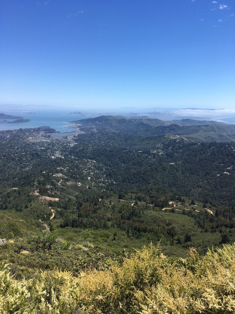

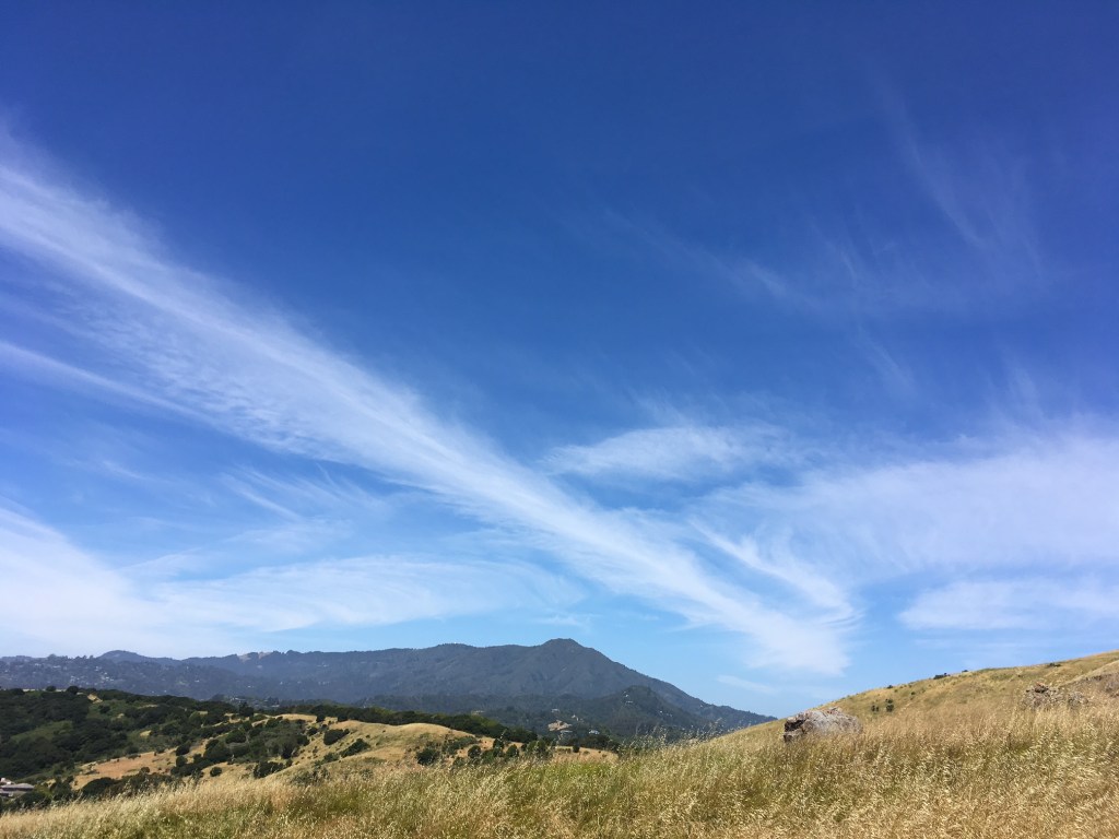


Within the San Andreas Fault transform system the forces of transpression between faults prevails, and creates a landscape of compressional structures, as well as numerous reverse and thrust faults. Northern sentinel of the Golden Gate and heart of Marin County’s famous landscape, Mount Tamalpais rises steeply from the northwestern flank of the San Francisco Bay Area to 2,640 feet in elevation; its ascension is hypothesized to be generated by an undiscovered blind thrust fault.
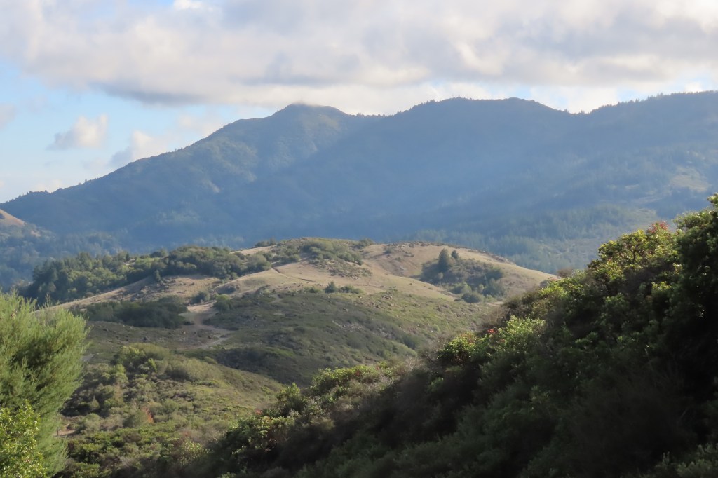
Blind thrust faults are completely subterranean, with no surface expressions (other than rising pressure ridges), and are next to impossible to identify until an earthquake occurs on such a tectonic rift. Earthquakes generated by a Mt Tam Blind Thrust have yet to be detected, but Tamalpais displays tell-tale indicators of a blind thrust landform, including an extremely steep ridgeline and near vertical gradients thrust up at a sharper angle than adjacent slopes.
In order to identify possible uplift due to a blind thrust, recent geomorphic field studies have been conducted on the Bolinas Ridge of Mount Tamalpais to measure watershed hillslope gradients, channel profiles, erosion rates, and transient channel bedrock incision rates. The measures of incision rates have shown that steeply thrusting uplift is occurring on the southern flank of Mount Tamalpais, and stream erosion rates on these steep slopes is most likely outpaced by this uplift. It is estimated that the Bolinas Ridge/Mount Tamalpais is rising at a rate of .5-1.0 mm a year, and may have a slip rate of 3-4mm a year, which could produce earthquakes up to 6.5 in magnitude every few hundred years or so.
